Area passports
's-Hertogenbosch
's-Hertogenbosch, The Netherlands
Location | ‘s-Hertogenbosch, The Netherlands
Year | 2023 - 2024
Client | Municipality of ‘s-Hertogenbosch
Status | Municipal strategy document, Finished
Links | The Area Passports for Green and Climate Adaptive ‘s Hertogenbosch
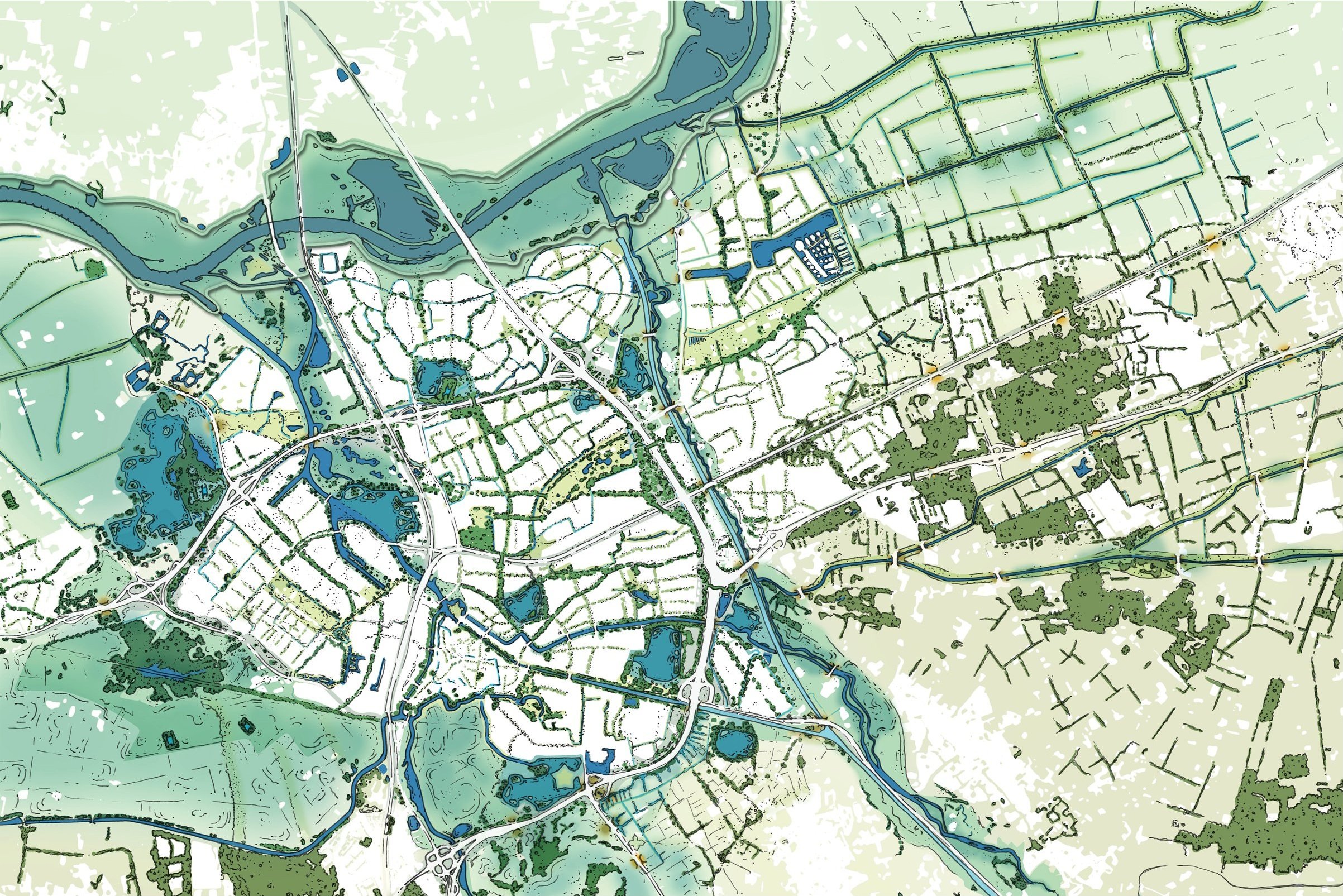
The research document "Area Passports for Climate Adaptive ‘s-Hertogenbosch" elaborates on the outcome of the research report "Green and Climate Adaptive ‘s-Hertogenbosch," developed by the municipality itself. Surrounded by swamps, the inner city, also known as ‘Moerasdraak’ (swamp dragon), was well-protected and positioned for trade. However, as the city grew, it became disconnected from the landscape, and the "Moerasdraak" faded. The Area Passports aim to revive it by guiding future developments based on local soil conditions and water systems to tackle climate challenges.
Green and Climate-adaptive
‘s-Hertogenbosch aims for a green and climate-adaptive future. Acting as a sponge city; protected against waterdamage, but also absorbing the water for times of drought. An essential strategy to support the green and ecological ambitions.
Bossche standard
The Bossche Standard aligns with the methodology of the recently developed National Standard for a Green and Climate-Adaptive Built Environment. For six themes concerning climate adaptation ambitions have been set. These ambitions are meant to counter the challenges of climate change and improve our living environments as well as the environment of other living organisms.
Guided by water and soil
The strategy focuses on water and soil characteritics; the base conditions for life. Therefore, the municipality is devided into 11 zones. Each zone is built up differently; soil types, height of the land and the subsequent possibilities for infiltration of rainwater. Also the attraction of flora and fauna is highly dependant on soil types and moisture levels. These zones range from low-lying clay polders to elevated sandy soils of which some are artificially raised. Both rainwater and water from the river Maas affect the groundwater table. Each zone demands a different approach and elaboration on the Bossche standard. Therefore, eleven area passports have been prepared.
Area passport
For each zone, the passports map shows the groundwaterlevel, sewage system and historical structures. The ecological potential is shown by indicating prefered zones of darkness as well as bottlenecks in the ecological network. The map is supported by quantitative data indicating the sponge capacity, vulnerability to heatstress, the 3-30-300 rule as well as a greening ambition. Building blocks are provided to support the ambitions, and ambassadorspecies (flora and fauna) are selected to represent the non-human inhabitants of the area.
Future projects
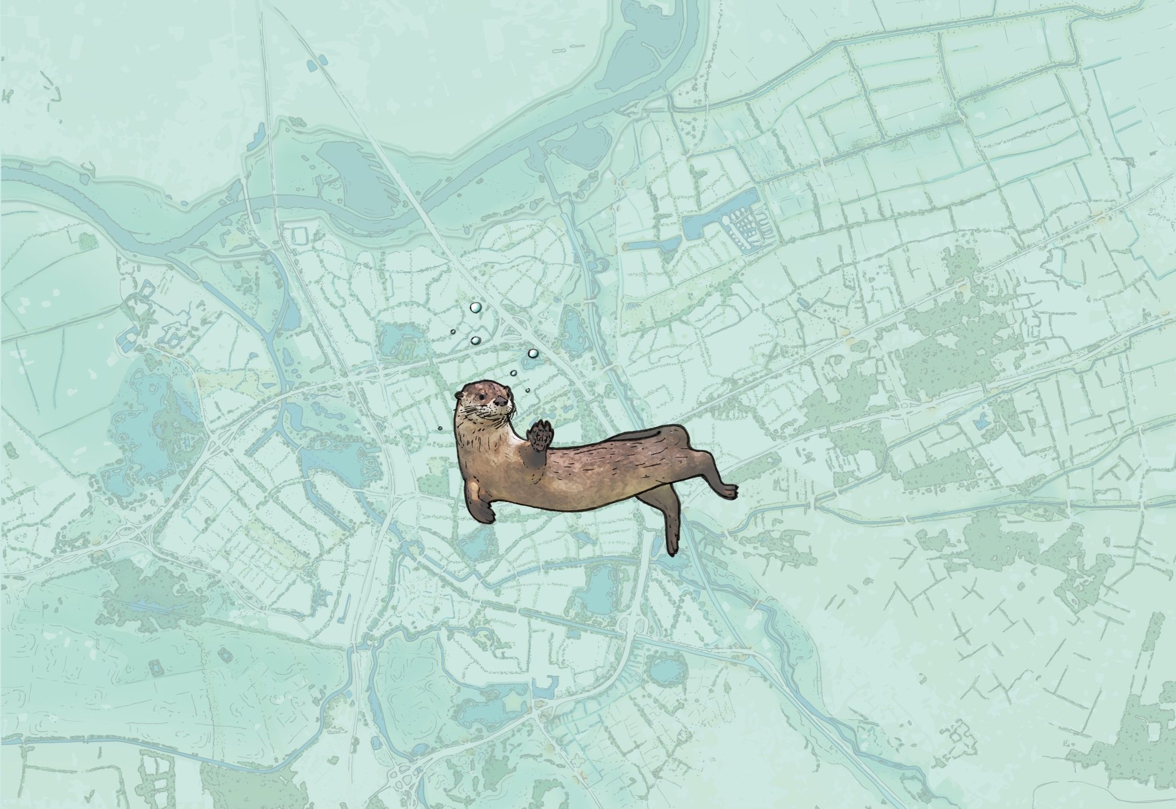
The tools provided by the “Gebiedspaspoorten Groen en Klimaatbestendig ” will give direction and support to future developments in both the urban and the rural zones within the municipality. De Urbanisten gave a first glimps of a future climate adaptive city in which inhabitants enjoy a green and healthy environment while the return of the European otter reflects the return of the “Moerasdraak”.


